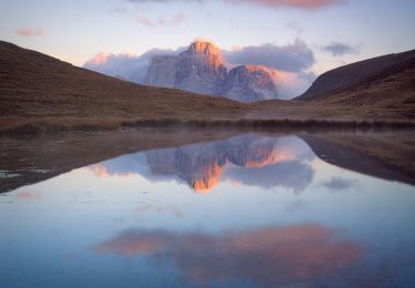
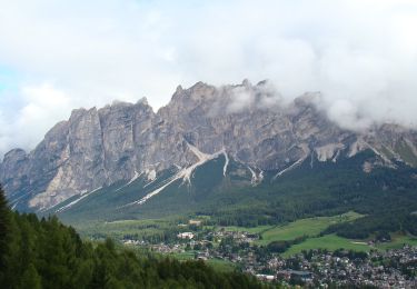
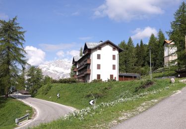
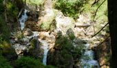
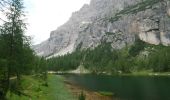
Trail Walking Cortina d'Ampezzo - Cortina d'Ampezzo Randonnée - Photo

Cortina d'Ampezzo Randonnée

 michelek
michelek

User

© OpenStreetMap contributors
Length
Length
13.3 km
Max alt
Max alt
2047 m
Uphill gradient
Uphill gradient
879 m
Km-Effort
Km-Effort  
25 km
Min alt
Min alt
1211 m
Downhill gradient
Downhill gradient
878 m
Boucle
Boucle
Yes
Creation date :
2024-07-25 08:36:52.205
Updated on :
2024-07-25 08:54:40.601

(0 Reviews)

Walking
Walking
5h40
Difficulty : Difficult

Scan this QR Code to open this trail in the SityTrail application

FREE GPS app for hiking

Logo SityTrail SityTrail

IGN / Geographical institutes

Download SityTrail from the App Store Download SityTrail from Google Play

Logo SityTrail SityTrail World

The world is yours!

Download SityTrail from the App Store Download SityTrail from Google Play Download SityTrail on Huawei AppGallery

About

Trail Walking of 13.3 km to be discovered at Veneto, Belluno, Cortina d'Ampezzo. This trail is proposed by michelek.

Description

Magnifique alternative aux très courus Cinque Torre ou Lac de Serapis. Montée dans les Gorges de la Federa jusqu'au Lac (Refuge) et descente par le sentier 431 puis 430.

Elevation profile

Photos

Points of interest

Point of interest Cortina d'Ampezzo - Option Facile - Photo
michelek
CORTINA D'AMPEZZO 

Positioning

Country:
Italy
Region :
Veneto
Department/Province :
Belluno
Municipality :
Cortina d'Ampezzo
Location:
Unknown
Start:(UTM)
279939 ; 5155252 (33T) N.

Trails nearby

Trail On foot San Vito di Cadore - IT-465 - Photo
On foot
GUIDE+

On foot

Easy
San Vito di Cadore, Veneto, Belluno, Italy
3.6 km | 6.5 km-effort
1h 28min
No
Trail On foot Cortina d'Ampezzo - IT-431 - Photo
On foot
GUIDE+

On foot

Easy
Cortina d'Ampezzo, Veneto, Belluno, Italy
4.1 km | 10.8 km-effort
2h 27min
No
Trail On foot Cortina d'Ampezzo - IT-435 - Photo
On foot
GUIDE+

On foot

Easy
Cortina d'Ampezzo, Veneto, Belluno, Italy
4.5 km | 11.3 km-effort
2h 34min
No
Trail On foot Cortina d'Ampezzo - Sentiero C.A.I. 212, Bivio sopra Mandres - Faloria - Strada Tre Croci - Photo
On foot
GUIDE+

On foot

Easy
Cortina d'Ampezzo, Veneto, Belluno, Italy
6.2 km | 14 km-effort
3h 11min
No
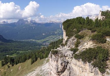
Trail On foot Cortina d'Ampezzo - Sentiero C.A.I. 206, Strada per Tre Croci - Lareto - Son Forca - Photo
On foot
GUIDE+

On foot

Easy
Cortina d'Ampezzo, Veneto, Belluno, Italy
4.9 km | 10 km-effort
2h 16min
No
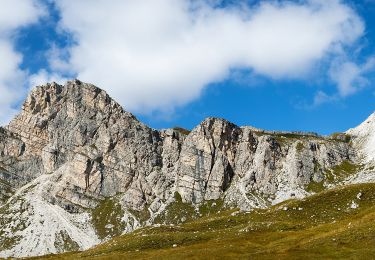
Trail On foot Cortina d'Ampezzo - IT-434 - Photo
On foot
GUIDE+

On foot

Easy
Cortina d'Ampezzo, Veneto, Belluno, Italy
6.6 km | 15 km-effort
3h 24min
No
Trail On foot Cortina d'Ampezzo - Bivio Mandres - Porta del Dio Silvano - Fraina - Miramonti - Photo
On foot
GUIDE+

On foot

Easy
Cortina d'Ampezzo, Veneto, Belluno, Italy
4.1 km | 7.5 km-effort
1h 41min
No
Trail On foot Cortina d'Ampezzo - Hotel Serena - Mandres - Lago Scin - Photo
On foot
GUIDE+

On foot

Easy
Cortina d'Ampezzo, Veneto, Belluno, Italy
3.1 km | 6.5 km-effort
1h 28min
No
Trail On foot Cortina d'Ampezzo - IT-208 - Photo
On foot
GUIDE+

On foot

Easy
Cortina d'Ampezzo, Veneto, Belluno, Italy
10.5 km | 14.4 km-effort
3h 16min
No


Close
My subscriptions